In 1910, the town of Wallace, Idaho, along with many other western towns was embroiled in the fight against massive wildfires, the worst our country has every seen, then or since. A wildfire the size of Connecticut was burning in northeast Washington, the Idaho panhandle, and western Montana. In last August, hurricane force winds from a cold front whipped the many small fires into a blazing inferno, impossible to fight. Smoke from the fire could be seen as far east at New York and darkened the skies so much 500 miles out in the Pacific the ships were prevented from navigating via the stars at night.
Just south of Wallace, Idaho, Ed Pulaski, a Forest Service ranger recognized that there was no hope of containing the blaze and scoured the area for his men. Just as they were to be overtaken by fire, he led them into an abandoned mine tunnel that he knew was nearby. Ed Pulaski fought off the flames at the entrance to the mine while his men huddled near the ground deeper into the mine shaft. One man could take things no longer and decided to make a run for it. Ed Pulaski pulled his pistol out and threatened to shoot him should he attempt to leave as he would have faced certain death. The man backed down and his life was saved, along with all but 5 of the 40 or so men.
A third of Wallace burned to the ground. Many of the townspeople, included Ed Pulaski’s family, escaped via the railroad. More firefighters died in total during this fire than any other fire event in United States history until the World Trade Center attacks of September 11, 2001.
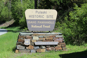
In honor of Ed Pulaski’s heroic effort to save these, a trail that leads to an overlook of the mine shaft where he saved his men was created. Sue and I decided to take a few hours and hike the trail during our visit to Wallace, ID.
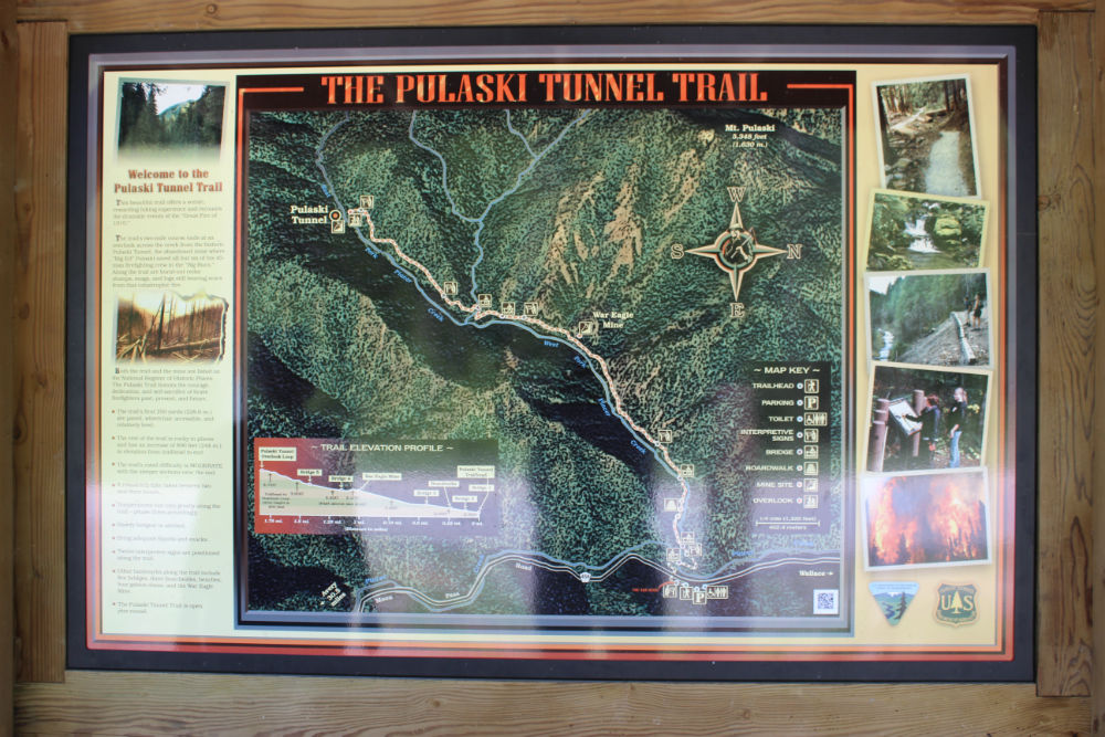
The trail is approximately 2 miles according to the signage (more like 2.5 miles according to my GPS), and climbs approximately 800 feet. The steepest part is towards the end. Along the way are information signs to give you info about the fires, the escape, and other related information.
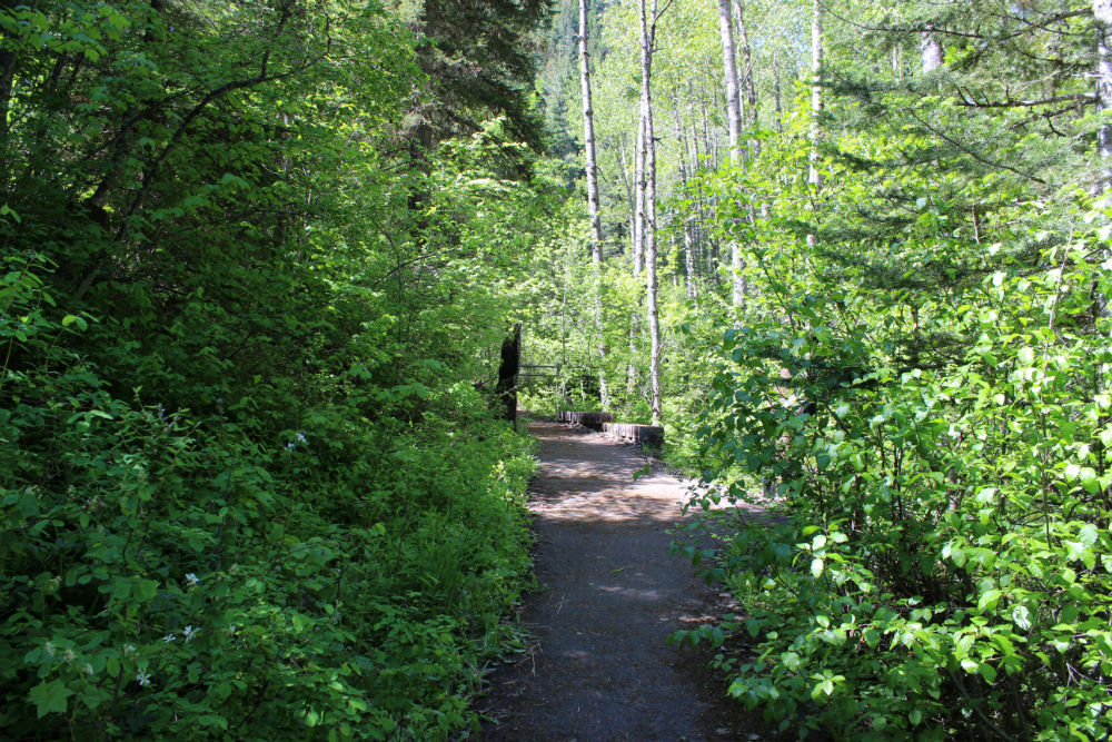
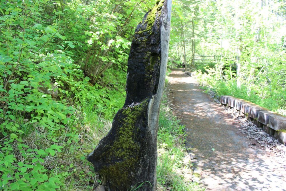
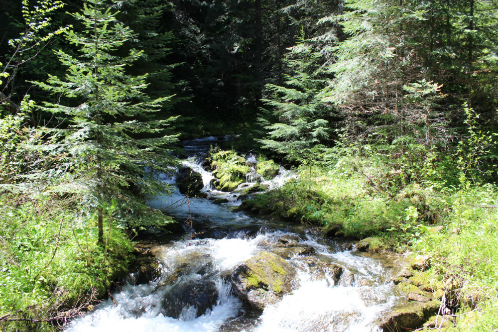
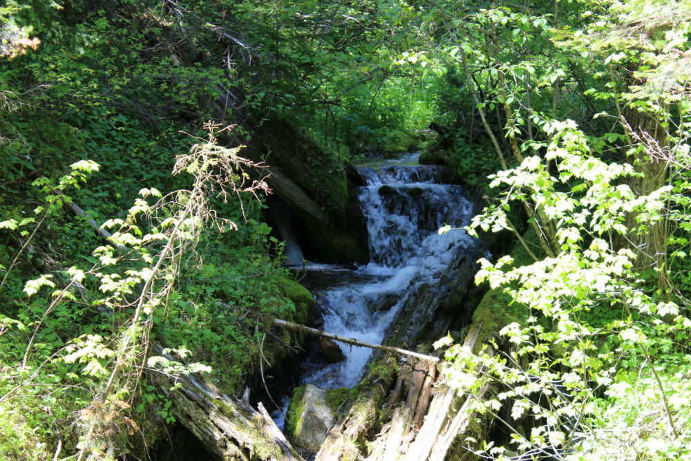
The trail starts off with 800 feet of paved walkway to the first information signs, then changes to a dirt trail. It leads through a beautiful forest, mostly shaded and quite cool and pleasant when we were there the end of May. It follows Placer Creek up the valley to the site of the mine. It’s a great hike, not terribly difficult, except in a couple of places where it has the most elevation gain. Even then, it’s not bad if you are in good shape. Plan on 2-4 hours (we took 3 1/2 hours).
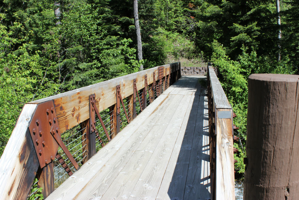
You can find a pretty good writeup about the trail here. Here are pictures from the hike.
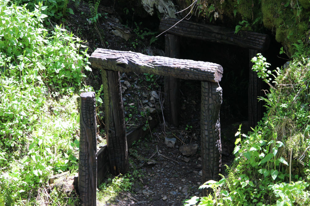
Entrance to the mine which became known as Pulaski Tunnel where Ed Pulaski led his men to safety as the 1910 wildfire was going to overtake them.
It is always interesting to see where history was made in some form or fashion and where ordinary people perform extraordinary acts. This was no exception.
