 Our destination for Day 7 was Port Angeles, a town of about 20,000, squeezed in between the Strait of Juan de Fuca and the Olympic Mountains. And I do mean squeezed. The south edge of town sits right on the Straits and the north edge is right at the base of the mountains. It’s a pretty cool location. We intended to use this as a base location for a couple of days of exploring.
In order to get there, we decided to take the Port Townsend ferry from Coupeville. That saved us driving all the way down to Yakima at the bottom of Puget Sound and then back up again. It made for a fun, unique trip taking our car across the ferry. That’s a first for me, ever. I was a little nervous about the whole process and was not sure what to expect. When I paid my toll in Coupeville, the gentleman explained what would happen and it all came off without a hitch. What was absolutely amazing to me is that they take semitrucks across on these ferries! I had never even thought about that and was amazed that these ferries could do that.
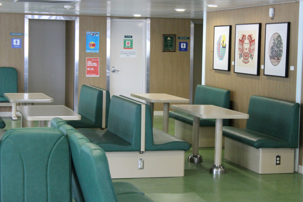
When the time came, I drove the car down the ramp, onto the ferry, and then headed upstairs to explore the decks. They had nice chairs, viewing areas, even tables to sit at and work if you wanted. They also had snack bars for food. This was a short ferry ride of just a few miles that saved us a couple of hundred miles of driving. At the end, I went down to the car, waited for the ferry to dock, and drove the car off the ferry. Pretty darn simple! It’s a way of life for the population up here, but it was a new, fun experience for us.
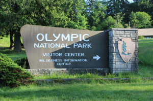 We grabbed some quick lunch in Port Townsend and headed off to see the mountain part of Olympic National Park. This national park is somewhat unique in that it has three very distinct areas: the mountains, the coast, and the rain forest. If you throw in the forests that aren’t in the rain forest, you could actually say that there are four. We wanted to explore each of those areas, so we headed up south out of Port Angeles, hitting the visitors center down at the bottom, and then drove up Hurricane Ridge Drive to top, where the Hurricane Ridge Visitors Center is. You are basically at 5200 feet above sea level at that point, so in a matter of less than an hour, you climb from sea level in Port Angeles to a mile high!
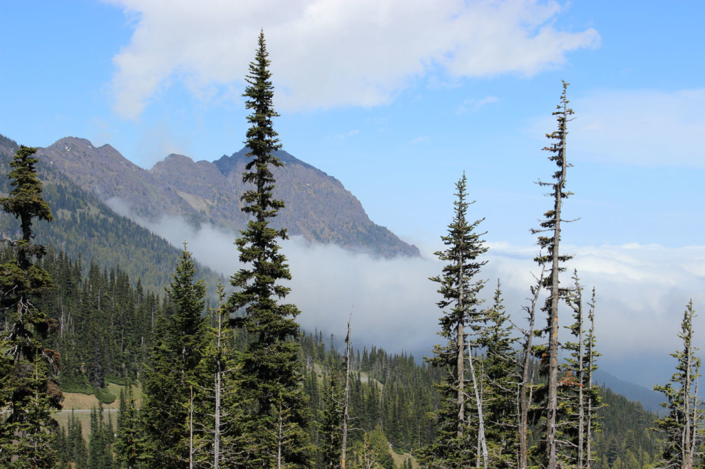
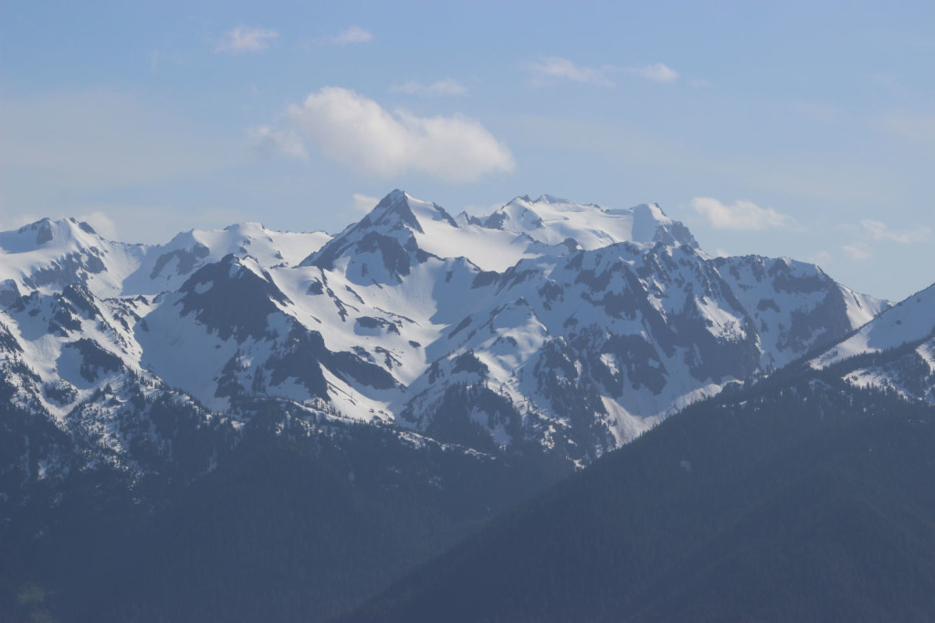
All along the drive, we were pressing against the clouds, frequently seeing them move along the mountains. It’s a very pretty sight, to see the clouds moving against the mountains like that. As we went higher, we broke through the clouds and ended up with gorgeous views.
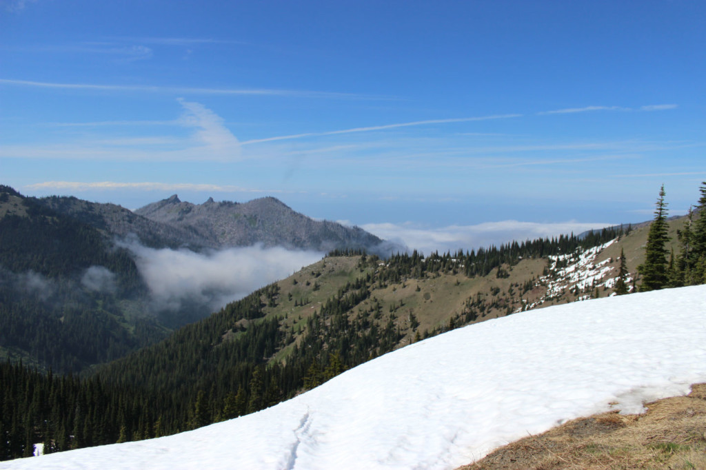
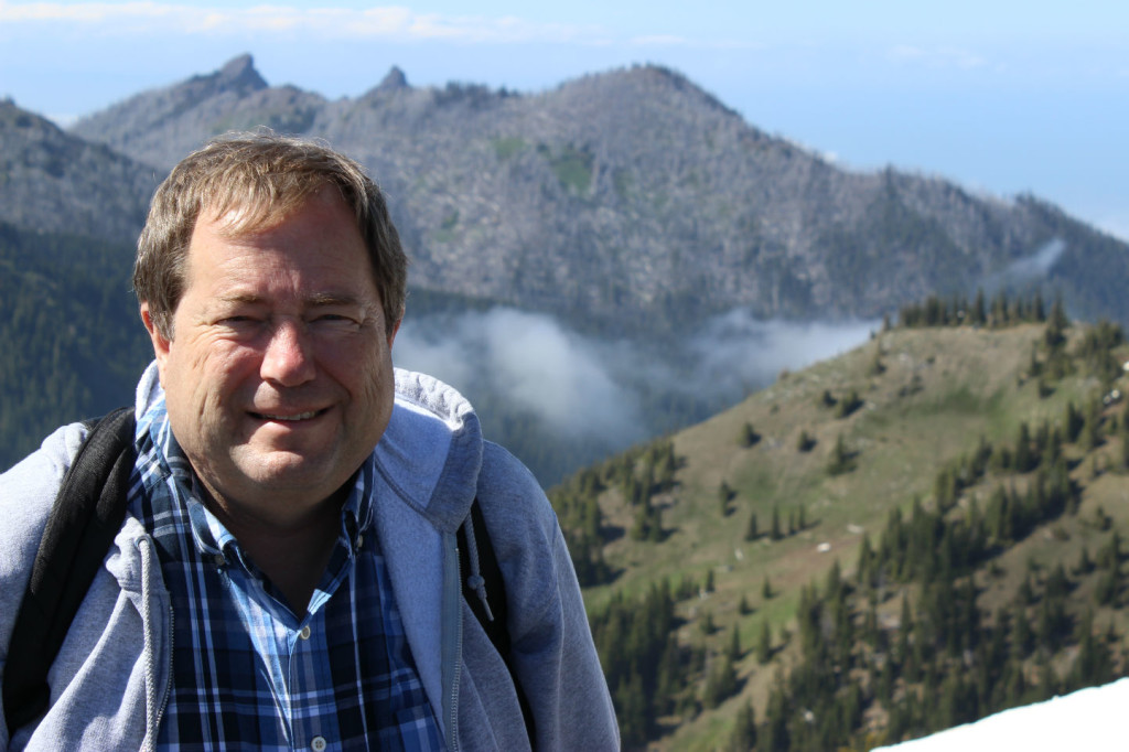
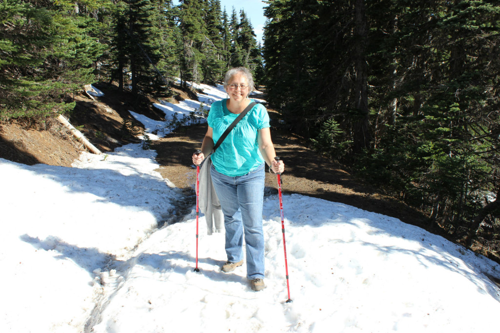
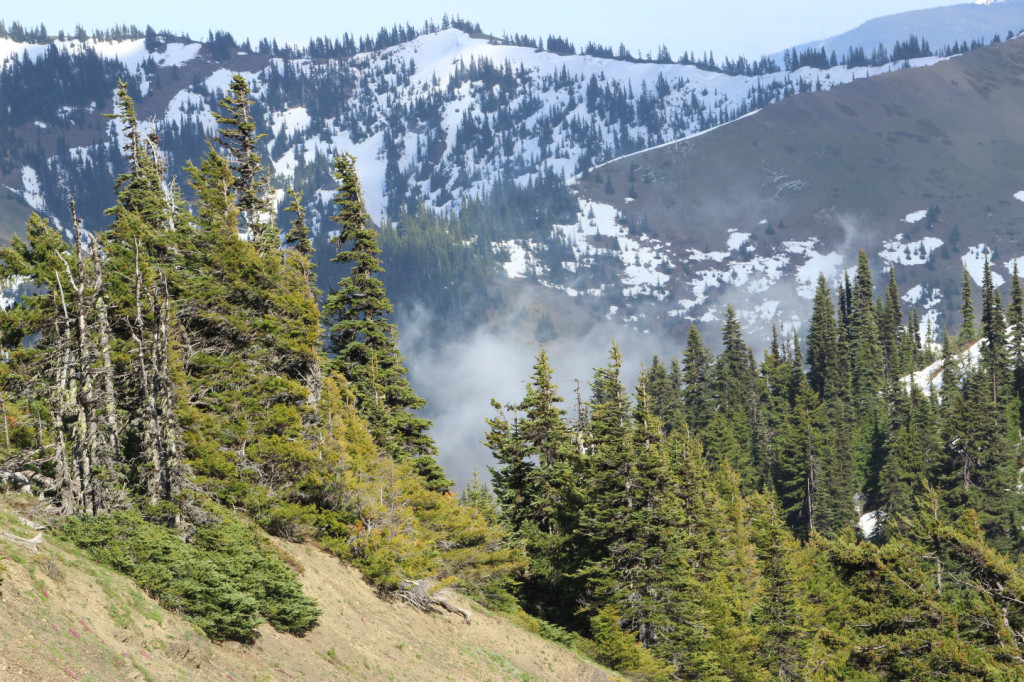
At the top, there were several trails near the visitors center that we intended on visiting, but most of them were still covered in snow. So we set out for plan 2, which was to go to the top of Hurricane Hill. We weren’t sure we were going to go all the way or not, and we didn’t. We hit some snow, and while others pressed on, we decided to halt and head back. The views on the trail that we did visit were stunning. At one point, we were walking along a ridge and saw a deep valley on one side and a deeper valley on the other side, all against a backdrop of snow capped Olympic Mountains.
While we didn’t make it to the top, we enjoyed some spectacular views and a great walk in the outdoors. We headed back to the car, and drove back down to Port Angeles to stay the night, ready for our big day the next day: going to Butchart Gardens north of Victoria, Canada.
