 After a long day with our trip to Butchart Gardens, it was time to leave Port Angeles. I think Port Angeles would be interesting to go back to and visit again and be able to explore the areas around more than we were able. Next on our agenda was exploring the other two environments of Olympic National Park, the coast and the rain forest. On our way, we decided to make a few detours before we actually got to those locations.
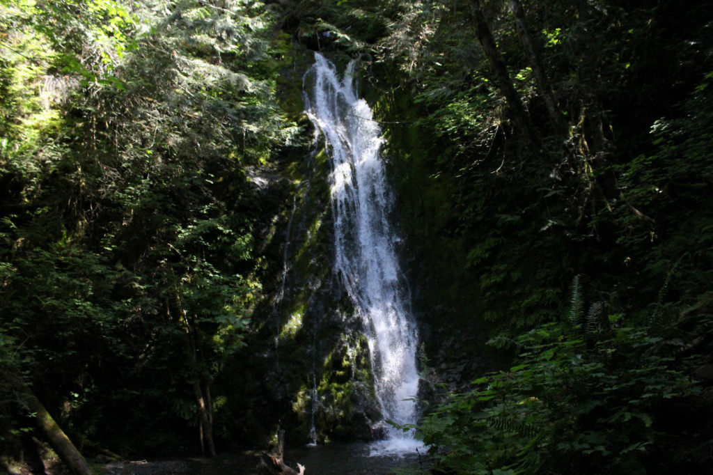
Our first two stops as we headed west from Port Angeles were two waterfalls in Olympic National Park. The first was Madison Falls, which are just west of Port Angeles and a very short walk from the parking lot.
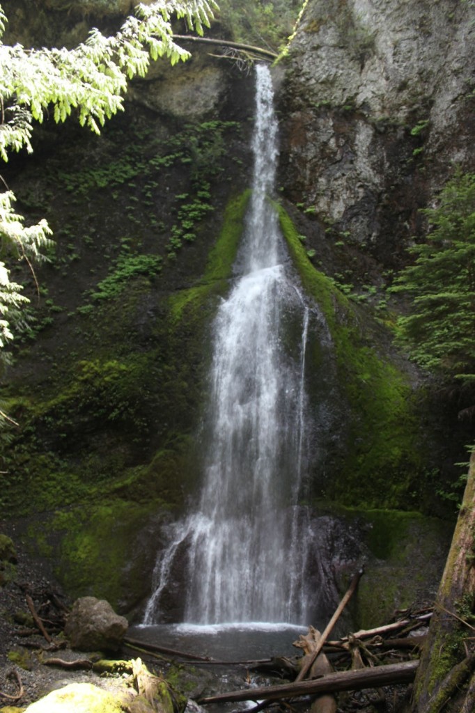
Next we headed to Marymere falls, This is a little longer hike, about 1/2 mile, but fairly easy. While we visited these falls, there was a large group of photography enthusiasts taking a class from a local photography’ expert. That tells you something about the beauty of this place with the light pushing through the forest trees in so many pretty ways. Couple that with the waterfall and the accompanying stream and this area provided ample opportunity for wonderful picture taking.
After leaving the falls, we headed west, around the corner of Olympic National Park and on into Forks, Washington for some lunch. If you’re not familiar with Forks, Washington, it is the setting for the popular Twilight vampire series. More on that later.
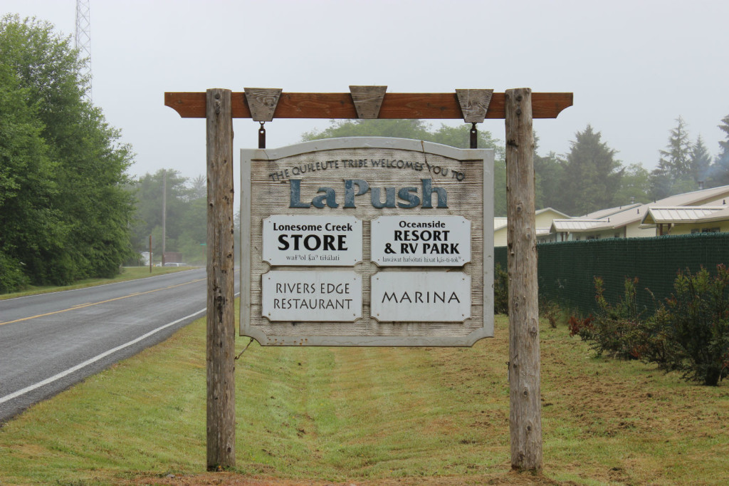
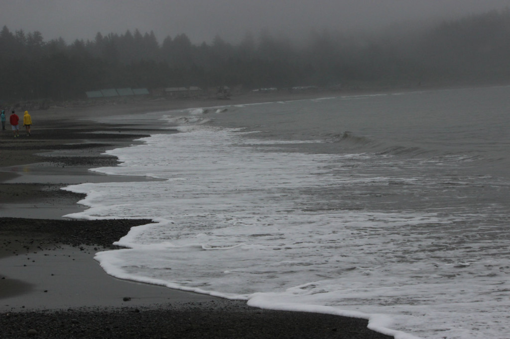
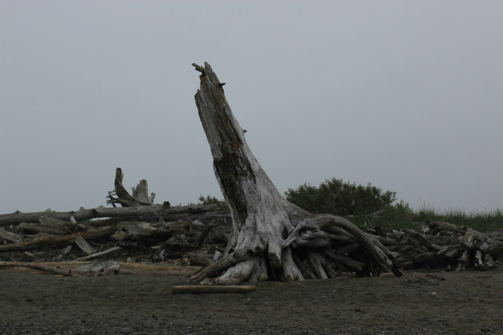
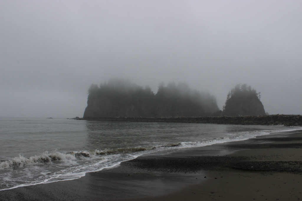
After lunch, we headed out to First Beach, at La Push on the Quilute Indian Reservation.
It was a bit cold and misting, so didn’t stay there very long, but, as we would find out all along our trip down the coast, the ocean scenery is spectacular. We heading back into Forks and then made a decision. I had noticed that we were really close to the very northern tip of the continental United States at Cape Flattery. I thought it might be fun to drive up to that location so we could say we had been there. One day I have to take Sue the other direction, to the Florida Keys (we lived in Florida for almost 10 years, but never got to the Keys!), so we can be in the very southeast tip as well.
We left Highway 101 and headed up Highway 112 to get to the Cape. Along the way we saw a sign that we needed to stop at the Makah Cultural and Research Center to get a permit to go to the Cape. It turns out that Cape Flattery is actually on the Makah Indian reservation and you do need a permit to visit, so we stopped in, paid our $10.00 for an annual pass that we were going to use only once, and left. Maybe I should have left it with someone in Forks before we continued on!
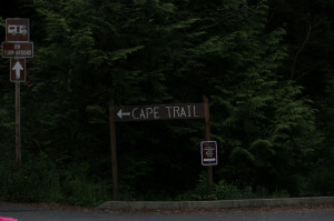 The man in the museum told me an easy way to get to the Cape from where we were. He told me to go out of the parking lot, turn left, and follow the double yellow line until it stops. When it stops, I would be at my location.And so we did. A couple times I thought that I might be going the wrong way, but I was still following the double yellow line so I continued.
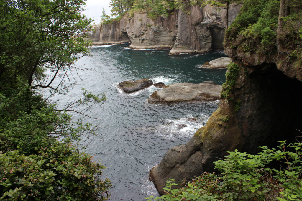
Eventually the double yellow line did end and we ended up at a parking lot with an arrow on a sign that said Cape Flattery. We found that there was still a trail of 1/2 mile to get to the cape. The trail was downhill almost the whole way, which obviously meant that we were facing an uphill climb the whole way back. I don’t know about you, but uphill climbs are not my most favorite. Nevertheless, we pressed on, getting closer to the coast, finally exiting the forest to a series of lookouts where we could see the Pacific Ocean.
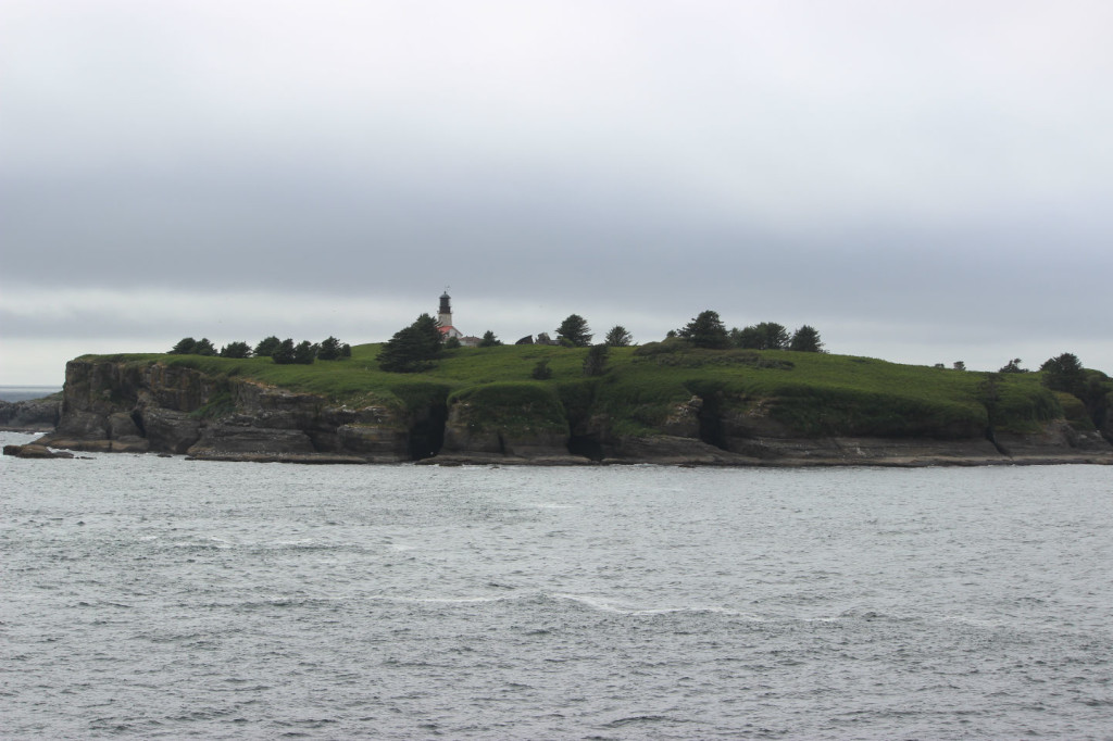
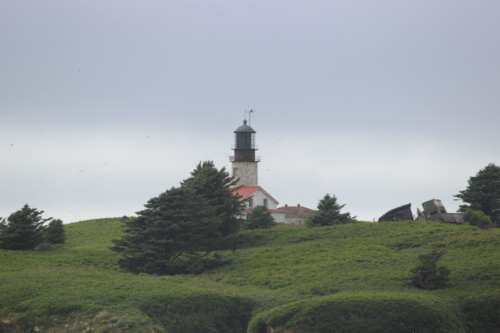
I had a very different vision of what was going to be at Cape Flattery. I envisioned a beach that we would walk on, with rolling waves, birds flying around and be able to stand on that beach and say that we were at the very tip of the continental United States. But it was not to be. There actually is no beach as the bluffs go right into the ocean. It’s a great view from the overlook, where you can see the waves crashing against the rocks at the base of the bluffs and look at the Cape Flattery Lighthouse on Tatoosh Island. It actually is a very pretty sight.
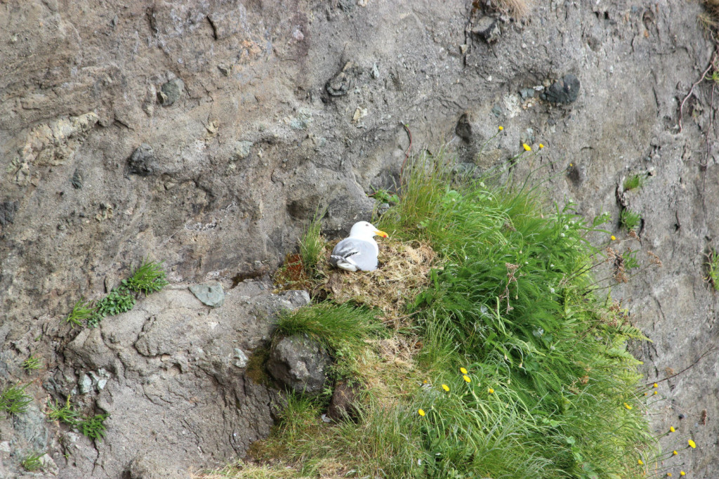
We saw plenty of nesting birds and even a bald eagle that was getting a snack out by one of the fishing boats.
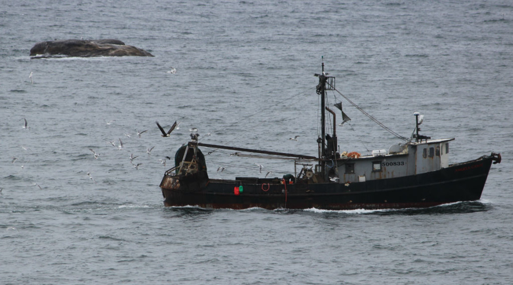
Look closely for the bald eagle just to the left of the boat. Click on the picture to see it bigger.
Now we can say that we have been to the very tip of Washington in the continental United States! After spending some time enjoying the scenery, we headed back up back to our car. The half mile hike back uphill did not seem as long as it had downhill, and we made it back to the top in short order. With that out of the way, we headed back to Forks.
I had originally planned on heading to the rest of Olympic National Park this day, but with our detour to Cape Flattery, it was a bit late and we decided to stay in Forks that night and start our visit to the rest of Olympic National Park the next day. I never thought in any tentative planning of our trip that we would spend a night in vampire country!
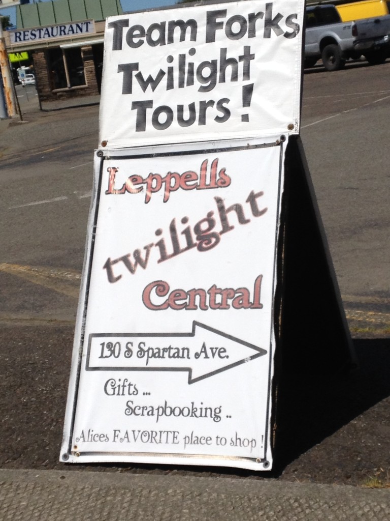
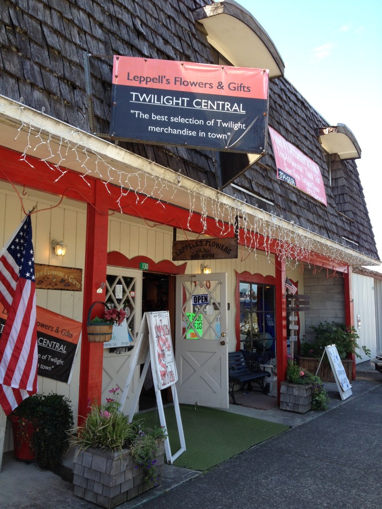
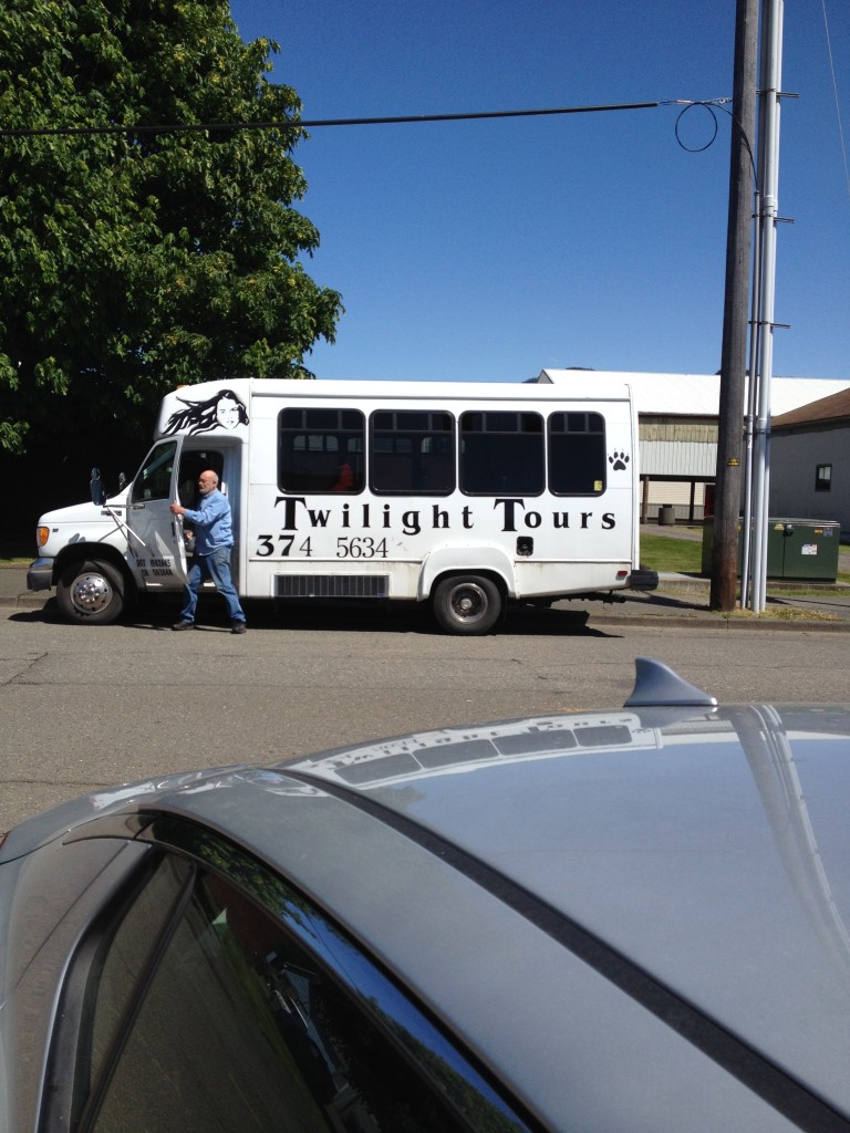
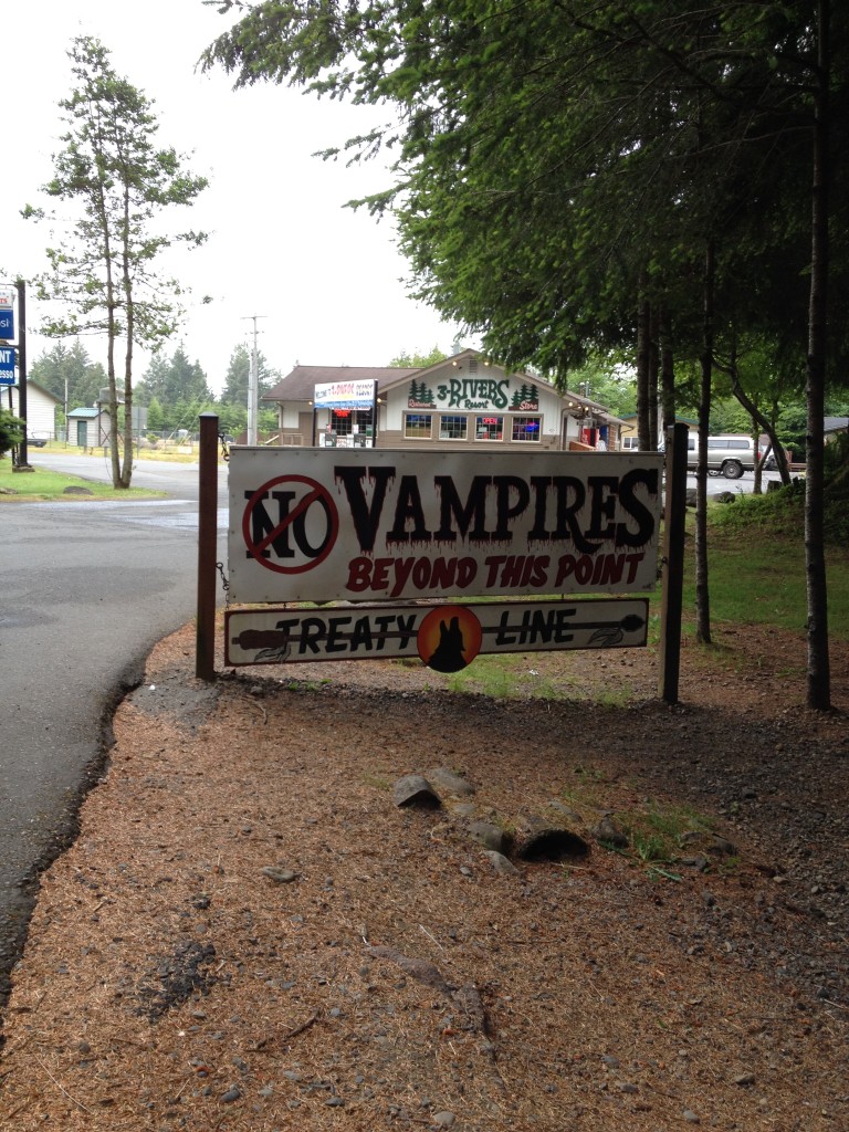
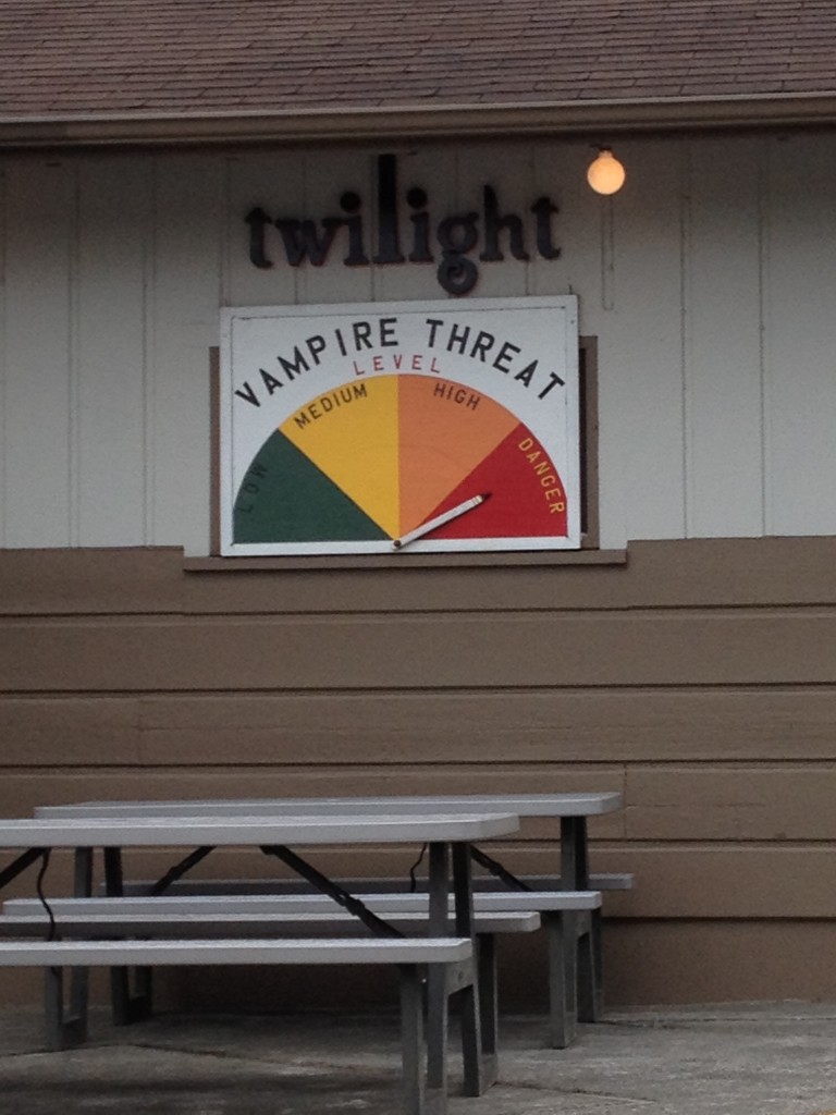
Now about Forks. Twilight fans are pretty fanatic and we had heard that Forks was capitilizing on that. It wasn’t quite as much as we had thought, but there werew still plenty of references to Twilight, from references on signs (“Alice’s FAVORITE place to shop”), to menu items in restaurants (Ed Bread and Swann Salad), to Twilight suites you could stay at in the local hotels and many other things in between. See the pictures below for a few.
Yes, it’s true: I did tell Sue that I wondered were the treaty line was–you can see the line in one of the pictures above 🙂
We stayed at the Pacific Inn Hotel, which is a small hotel–there isn’t much that’s large in Forks. It was nice enough, the only problem being that the water in the shower did not get hot enough. Dinner at the Inn Place was ok, not great, but breakfast was very good at the Forks Coffee Shop across the street. Plenty to eat, and pretty tasty.
That was our day, seeing a couple of waterfalls in Olympic National Park, hitting Cape Flattery, and the center of Twilight universe, Forks, Washington!
Next up? The Olympic National Park Beaches and Rain Forest!
