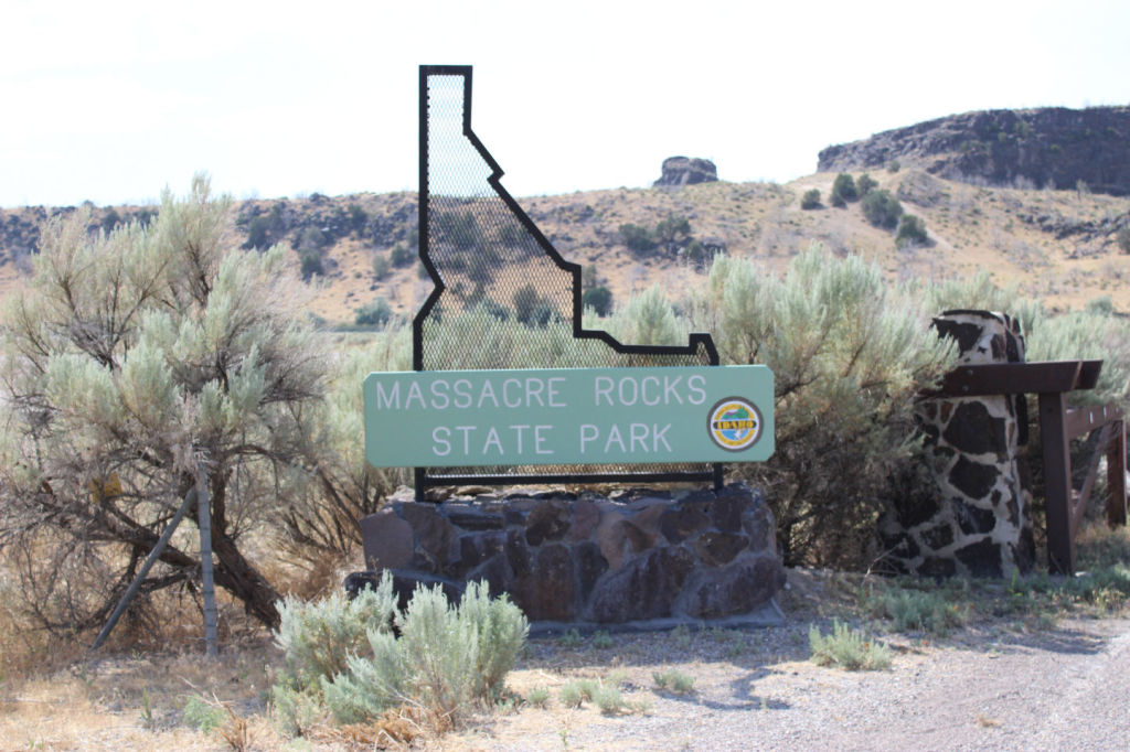
 Among the State Parks we visited in Idaho was Massacre Rocks State Park. This State Park is located right along I-86 and has a number of interesting features. The park sits right next to the Snake River, has miles of hiking trails, a campground, a world class disc golf course, fishing, a swimming beach, and access to Oregon Trail wagon ruts. It would be an interesting place to stop and get some exercise playing their disc golf course or walking to the Oregon Trail Ruts
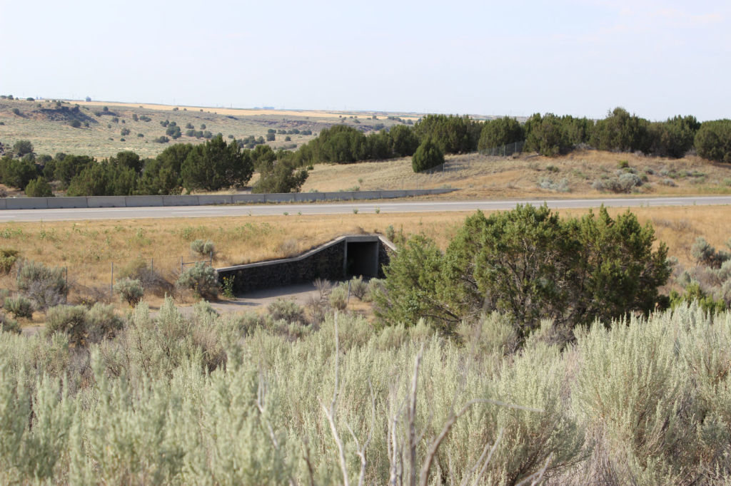
When Sue and I visited, it was quite warm and we didn’t stay a long time exploring the hiking trails or play the golf course, but we did take time to visit the nice visitors center(which had disc frisbees for sale to use on the disc golf course), and we made the short hike underneath the freeway to the south side where the Oregon Trail Ruts were located.
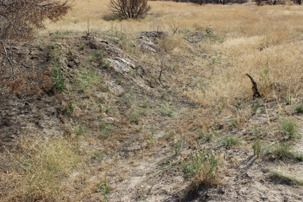
The Oregon Trail Ruts are a bit difficult to see if you don’t know what you’re looking for but we finally realized where they were. One expects to see well preserved impressions in the soil, but in this area of abundant snow and wind, those have all are eroded away. But you can clearly see the large depression in the earth that was created as thousands of wagons made their way across this historic trail.
One thing that is kind of fun about visiting the Oregon Trail ruts is that you get to walk through a tunnel under the freeway!
Like many State Parks, Massacre Rock State Park has some interesting history. The park takes its name from a wagon party skirmish with the Indians. The area was also known as “Gate of Death” or “Devil’s Gate”. It got its name from the pioneers because of the narrow passage through the rocks which caused them to be afraid of ambush opportunities by Native Americans. There were a few skirmishes near the park, but not a Devil’s Gate. There may have been clashes that actually occurred in the park, but those are unverified.
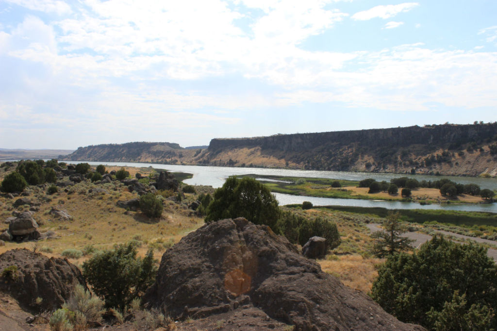
There’s also some interesting geologic sites and some stunning views of the Snake River.
Volcanic history abounds here and the impact of the Bonneville Flood is visible as well. The Bonneville flood began when waters broke through Red Rock Pass near the Utah-Idaho border. Ancient Lake Bonneville, which was behind this natural dam, poured through the pass and followed along the Snake River, carrying with it huge boulders that were carried away from the mountainsides, taken downstream during the flood, smoothed during the flood, and deposited in the area in and around the park. This flood was the second largest flood in the geologic history of the world. Across the river from the park you can see the site of an ancient waterfall where water came down after the flood occurred.
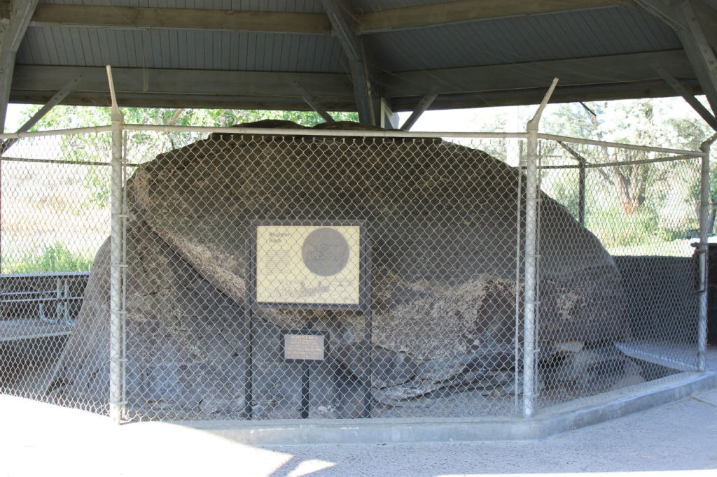
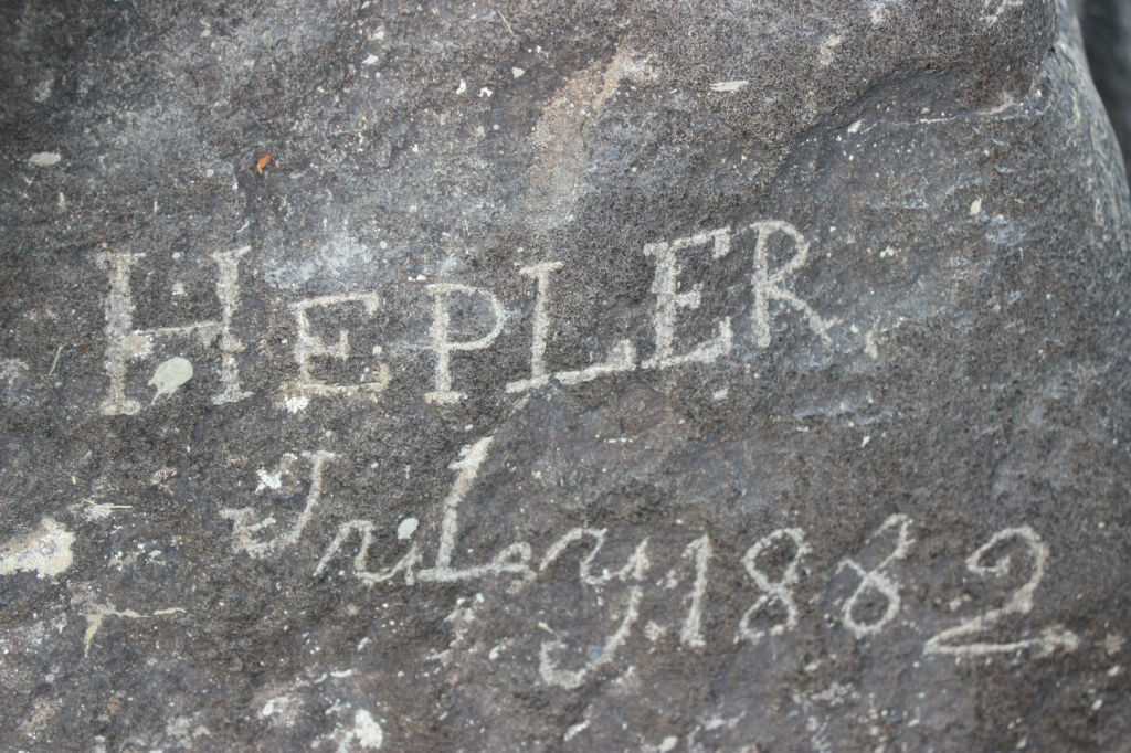
Register Rock, which is approximately 2 miles away, is home to a huge boulder where Oregon Trail pioneers stopped for an evening of rest and many inscribed their names into the boulder. Currently this part of the park has a beautiful grassy area, nice picnic facilities with barbecue grills and fire pits, and a horseshoe area. It would also be a great place to stop for a picnic and for kids to run around if you are traveling on I-86.
If you are traveling in this area, take an hour or so and explore some of the unique things that this park has to offer.
Here are some additional pictures from this area:
And a map to show you where it is:
